People climb Kilimanjaro without ever being told what it is. That seems a shame, because the mountain is stranger and older than the summit photograph suggests, and knowing a little about it makes the walk up better.
How high is Kilimanjaro?
Uhuru Peak stands at 5,895 metres, which is 19,341 feet. That makes it the highest point in Africa and one of the seven summits, the highest peak on each continent. It is also the highest free-standing mountain in the world, which is the fact worth pausing on.
What does free-standing mean?
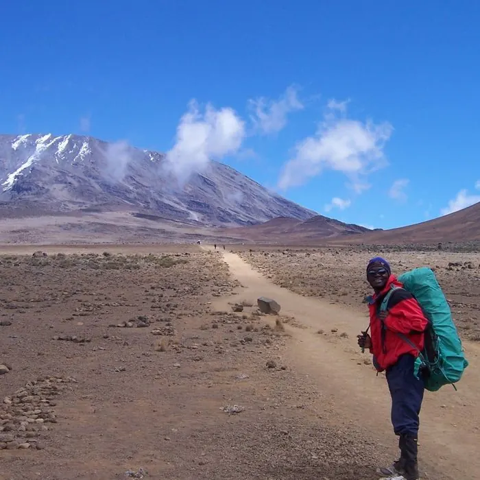
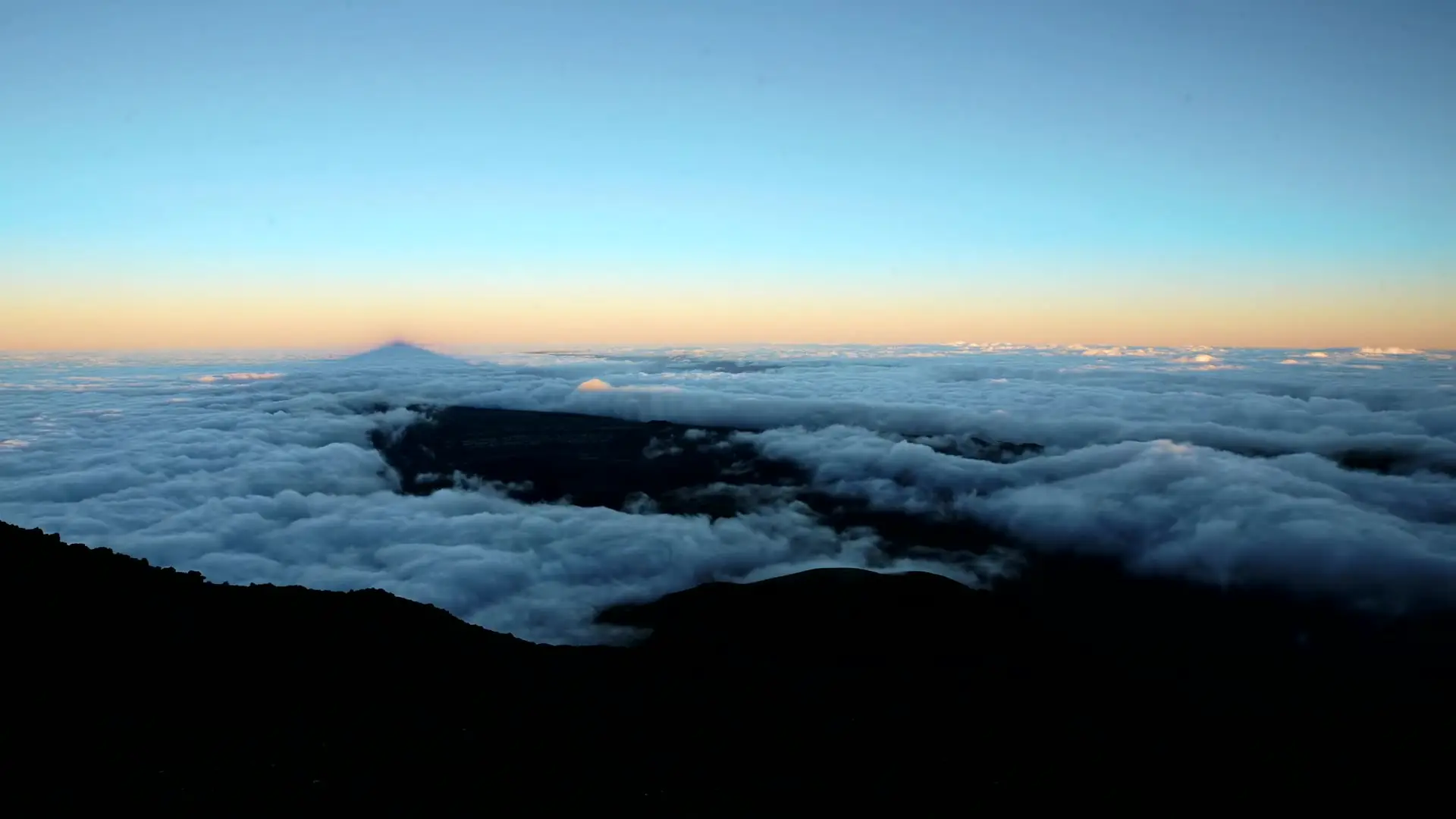
Most great mountains are part of a range, so they rise out of ground that is already high. Kilimanjaro does not. It stands on its own out of the plains, so you see the whole thing from bottom to top, and the climb takes you through the entire height rather than the last part of it. That is why the mountain looks impossible from the road and why it dominates every view for a hundred kilometres.
Is it a volcano?
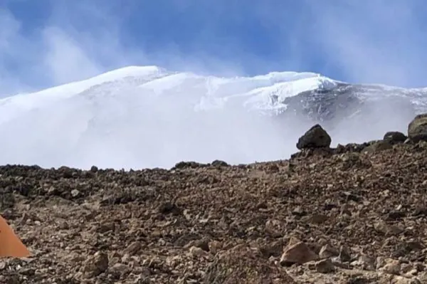
Yes, and really it is three. Kibo is the central cone and the one you summit. Mawenzi is the jagged peak beside it, and Shira is the collapsed remains of the oldest cone, now a broad plateau on the western side that the Lemosho and Shira routes cross. Mawenzi and Shira are extinct. Kibo is dormant rather than extinct, and there is still gas escaping in the crater, which climbers on the crater camp routes sometimes smell.
What are the glaciers doing?
Retreating, and visibly so. The ice on the summit is a fraction of what photographs from a century ago show, and the change is measurable between decades rather than centuries. We are careful not to repeat any of the disappearance dates that circulate, because the studies disagree and the figure gets quoted far more confidently than the science supports. What is not in dispute is the direction.
Why does the climate change so much on the way up?
Because you climb through roughly five zones in under a week, which is the closest thing to walking from the equator to the arctic that exists.
- Farmland. The lower slopes are farmed, coffee and bananas, and full of people. Most routes drive through this.
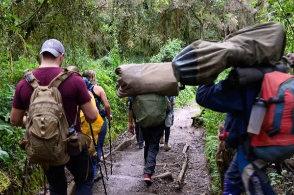
- Rainforest. Wet, green and loud with birds and colobus monkeys. Expect rain here even in a dry month.
- Heath and moorland. The forest thins into open ground with giant lobelia and groundsel, plants that grow nowhere else and look prehistoric.
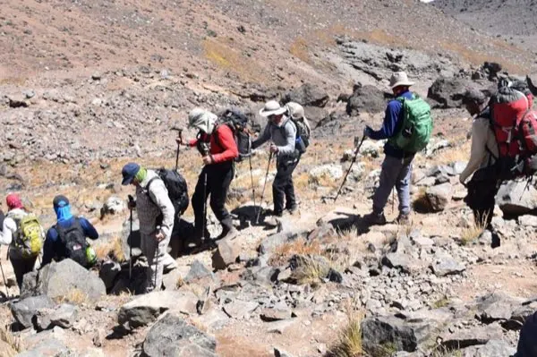
- Alpine desert. Rock, dust and enormous skies. Hot in the sun, cold in the shade, and very little grows.
- Arctic summit. Ice, thin air and about half the oxygen you started with.
That progression is the real reason to walk up rather than take the shortest route. Each zone takes a day or so, and the mountain gives you all five.
Is it inside a national park?
It is. Kilimanjaro National Park covers the mountain above the farmland, it is a UNESCO World Heritage Site, and it is run by the park authority KINAPA. Every climb is a guided climb by law, every guide must be licensed, and the fees you pay are a large part of what a climb costs. Our guides are KINAPA licensed and certified in Wilderness First Response.
Does any of this help you climb it?
More than you would expect. People who understand that the difficulty is altitude and not gradient walk slower, drink more and summit more often. People who know they are crossing five climate zones pack for all of them. And people who know Kibo is a dormant volcano tend to look around at the crater rather than only at their boots.
If you want to know which route shows you the most of the mountain, ask us. That is a genuinely different question from which route is easiest, and we will answer both.