Rongai Route
- Duration
- 6 or 7 days
- Group
- Private, just your party
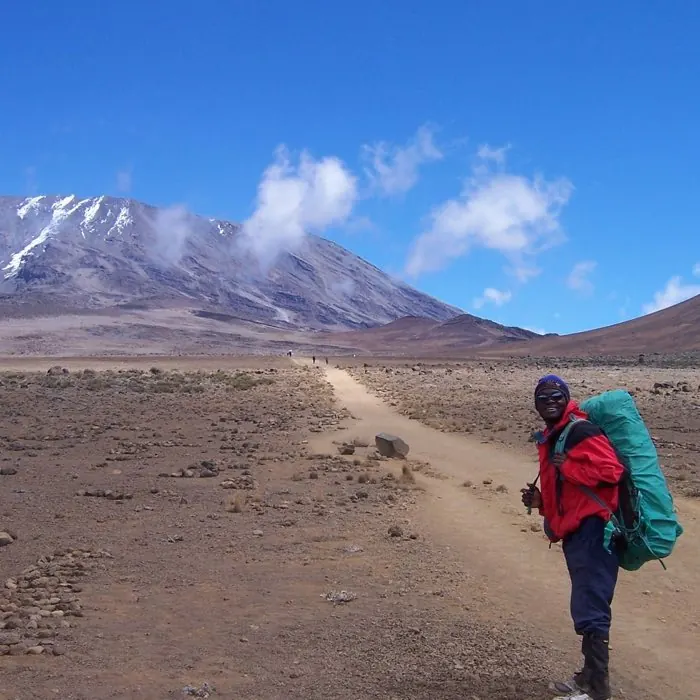
The only route approaching from the north, drier and quieter than the southern paths.
Day by day
Rongai Gate to Rongai Cave After stopping at the Marangu Gate for permits, we proceed to the wooden village of Nale Moru, where the trailhead begins. The trail winds through corn and potato fields, and then climbs gently through the forest which is home to a variety of wildlife, including the Black and White Colobus Monkey. We camp at Rongai Cave.
Rongai Cave to 2nd Cave to Kikelewa Cave After breakfast we begin the morning hike with a steady incline and reach 2nd Cave while en-route to Kikelewa Cave. Views of Kibo and the Eastern ice fields on the crater rim begin to emerge.
Kikelewa Cave to Mawenzi Tarn The hike today is short and steep, up a grassy slope. Views of the wilderness area are stunning. As we exit the heath zone and emerge into the alpine desert zone, the landscape changes dramatically. Camp is situated beneath the jagged spires of Mawenzi. The remainder of the day can be spent relaxing or exploring the area.
Mawenzi Tarn to Mawenzi Ridge to Mawenzi Tarn This is an acclimatization day. We hike steadily up a ridge with fantastic views on both sides; the landscape is rugged and rocky. After spending a few moments exploring Mawenzi Ridge, we head back to Mawenzi Tarn for camp. Extra days on the trail give our bodies the opportunity to acclimatize and assist with summit day.
Marwenzi Tarn to Kibo Hut The trail climbs gradually across the rocky lunar landscape as we traverse the “Saddle” between Mawenzi and Kibo Peaks. Our campsite for the night sits at the bottom of the Kibo crater wall. The remainder of the day is spent resting and preparing for the final ascent in the early morning.
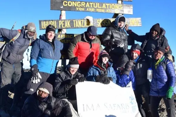
Kibo Hut to Uhuru Point to Horombo Hut We wake in the middle of the night and begin the final push to reach the Roof of Africa. The trail to Gilman’s Point is very steep and the ascent will be slow and steady. From Gilman’s, it is a traverse along the crater rim to Uhuru Peak. We stay at the summit for a short time, to take photos and enjoy the views, before retracing our steps to all the way back to Horombo Hut.
Horombo Hut to Marangu Gate A long trek is in store for today, however it is mostly downhill. Once at the park headquarters at Marangu Gate we pick up our certificate that proves our achievement and catch our vehicle transfer to hotel in Arusha or Moshi. The main itinerary difference between the Rongai 6 day and 7 day routes is the additional acclimatization day at Mwenzi Tarn.
Exact camps, lodges and timings can change with park rules, availability and weather. The final programme is confirmed before you travel.
Other Kilimanjaro trips
Lemosho Route
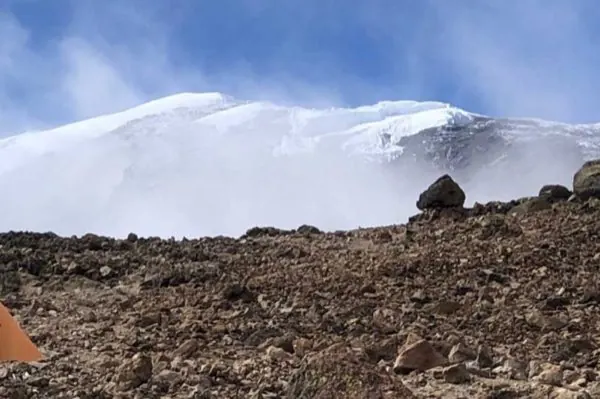
8 daysThe longest western approach to Kilimanjaro, and the route with the highest summit success rate.
Machame Route
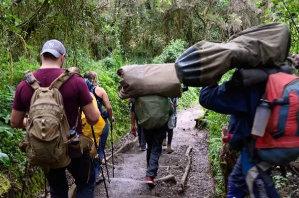
6 or 7 daysThe most popular route on the mountain: forest, moorland and the dramatic Barranco Wall, all in one climb.
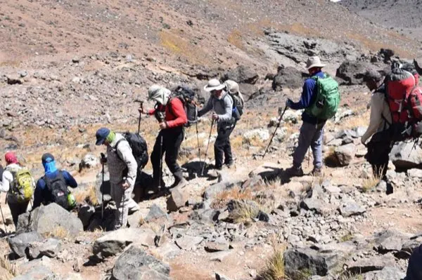
Marangu Route
5 or 6 daysThe original route up Kilimanjaro, and the only one with hut accommodation instead of tents.
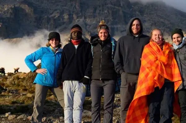
Mount Meru
3 or 4 daysTanzania's second-highest peak, often climbed first to acclimatize before Kilimanjaro, or as a trip on its own.
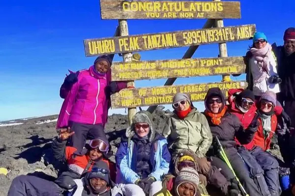
Shira Route
6 daysA high-altitude start on the Shira Plateau, with some of the most dramatic early views on the mountain.
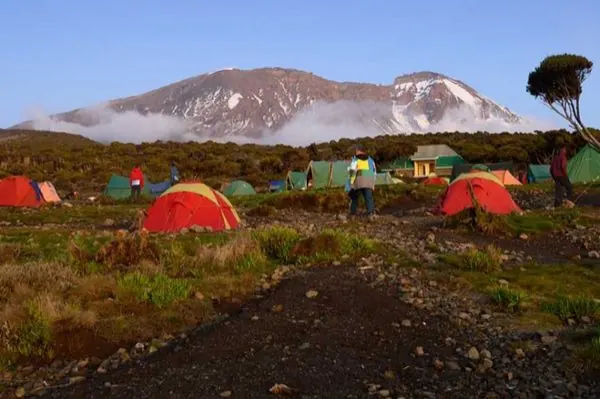
Umbwe Route
6 daysThe steepest, most direct route up Kilimanjaro. Fast and quiet, best suited to experienced trekkers.
Interested in Rongai Route?
Baraka answers every message himself, usually within a few hours.